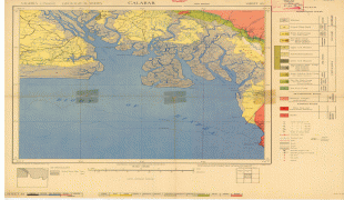
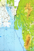
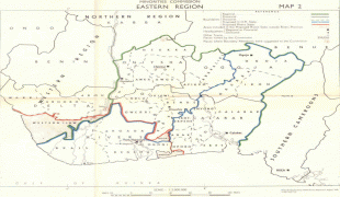
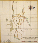
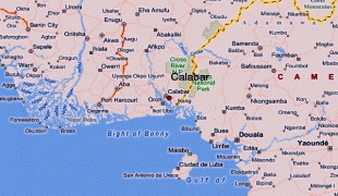
Calabar
 |
Calabar is often described as the tourism capital of Nigeria, especially due to several initiatives implemented during the administration of Donald Duke as governor of Cross River State (1999–2007), which made the city the cleanest and most environmentally friendly city in Nigeria. Administratively, the city is divided into Calabar Municipal and Calabar South Local Government Areas. It has an area of 406 km2 and a population of 371,022 as at 2006 census.
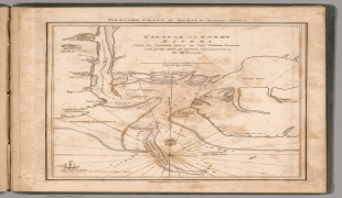
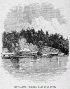
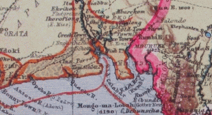
Calabar was the name given by the Portuguese discoverers from the 15th century to the tribes on this part of the Guinea coast at the time of their arrival, when the present inhabitants in the district were the Quas. It was not till the early part of the 18th century that the Efik people, owing to civil war with their kindred and the Ibibio, migrated from the neighborhood of the Niger River to the shores of the Calabar.
On the 10th of September 1884, Queen Victoria signed a treaty of protection with the king and chiefs of Akwa Akpa, known to Europeans as Old Calabar—then the official title to distinguish it from New Calabar to the east. This enabled the United Kingdom to exercise control over the entire territory around Calabar, including Bakassi. Calabar was the headquarter of the European administration in the Niger Delta until 1906 when the seat of government was moved to Lagos.
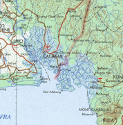
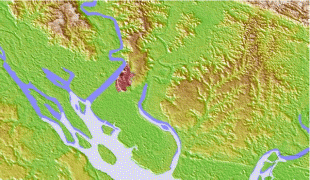
Map - Calabar
Map


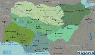

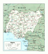
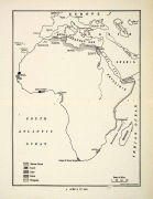
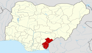
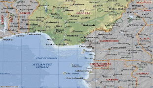
Country - Nigeria
 |
 |
| Flag of Nigeria | |
Nigeria has been home to several indigenous pre-colonial states and kingdoms since the second millennium BC, with the Nok civilization in the 15th century BC, marking the first internal unification in the country. The modern state originated with British colonialization in the 19th century, taking its present territorial shape with the merging of the Southern Nigeria Protectorate and Northern Nigeria Protectorate in 1914 by Lord Lugard. The British set up administrative and legal structures while practising indirect rule through traditional chiefdoms in the Nigeria region. Nigeria became a formally independent federation on 1 October 1960. It experienced a civil war from 1967 to 1970, followed by a succession of military dictatorships and democratically elected civilian governments until achieving a stable democracy in the 1999 presidential election. The 2015 general election was the first time an incumbent president failed to be re-elected.
Currency / Language
| ISO | Currency | Symbol | Significant figures |
|---|---|---|---|
| NGN | Nigerian naira | ₦ | 2 |
| ISO | Language |
|---|---|
| EN | English language |
| HA | Hausa language |
| IG | Igbo language |
| YO | Yoruba language |